
Documentation

Geolocation Fields Overview

Last modified: September 11, 2026

Introduction

Gravity Geolocation adds 14 location-aware fields to the Gravity Forms editor. You can collect and geocode addresses, display maps, retrieve a visitor’s location, calculate routes, validate addresses, find nearby locations, and draw geographic shapes.

Some fields collect or save data, while others act as controls or display panels. Understanding each field’s role makes it easier to combine them correctly.

Geolocation Fields in Gravity Forms
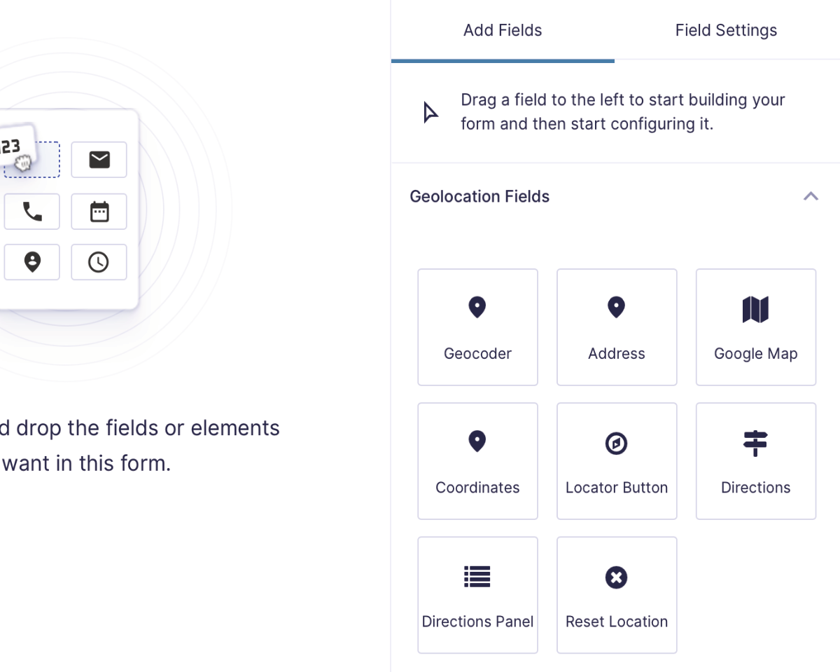
Gravity Geolocation Fields
Geolocation-specific fields in the Gravity Forms editor.

1. Geocoder Field

A hidden processing field that stores structured location data and synchronizes core location fields such as Address, Coordinates, Map, and Locator Button.


2. Address Field

Collects an address with Places API (New) autocomplete, an optional inline locator, language and country controls, and location bias or bounds settings.


3. Address Validation Field

Validates and standardizes an address through Google Address Validation, lets users review suggestions, and can send the confirmed address to another Geocoder Field.


4. Coordinates Field

Collects or displays latitude and longitude. Manually entered coordinates can be reverse-geocoded through the linked Geocoder Field.


5. Map Field

Displays an interactive Google map linked to one or more Geocoder Fields, including markers, bounds, map styles, and Map ID support.


6. Locator Button Field

A UI-only button that retrieves the visitor’s current position through browser geolocation or the configured IP-location provider.


7. Reset Location Button Field

A UI-only control that clears selected geolocation groups or restores their configured default locations.


8. Directions Field

Calculates and saves a route, distance, duration, and optional step-by-step directions between an origin, destination, and waypoints.


9. Directions Panel Field

A display-only panel for the step-by-step route instructions produced by a Directions Field using Google Routes API.


10. Distance & Duration Field

Calculates and saves travel distance and duration or straight-line distance between two Geocoder Fields without displaying a full route interface.


11. Nearest Locations Field

Finds the closest locations from manual data or supported database sources, with straight-line or Routes API Matrix calculations, maps, templates, and selection output.


12. Nearest Locations Panel Field

A display-only panel that renders the location selected through a linked Nearest Locations Field.


13. Drawing Tools Field

Adds tools for drawing and saving collections of polygons, rectangles, circles, lines, markers, and labels on a linked Map Field.


14. Drawing Shape Field

Displays and saves one predefined or linked shape, including its geometry, measurements, label, color, center, and bounds.

Understanding Field Roles

  • Core location data: Geocoder, Address, Coordinates, and Map fields work together as a synchronized location group.
  • Controls: Locator Button and Reset Location Button trigger actions but do not save independent entry values.
  • Calculations and specialized data: Directions, Distance & Duration, Address Validation, Nearest Locations, Drawing Tools, and Drawing Shape save their own structured results.
  • Display-only panels: Directions Panel and Nearest Locations Panel display output from their linked source fields and do not save independent values.

Synchronizing Geolocation Fields

The Geocoder Field is the shared data source for a core location group. Link Address, Coordinates, Map, and Locator Button fields to the same Geocoder to keep them synchronized. For example, selecting an address moves the map marker, while dragging the marker updates linked coordinates and address data.

Advanced fields use their own explicit dependencies. Directions and Distance fields select origin and destination Geocoders; Drawing fields select a Map or Drawing Tools source; Nearest Locations selects an origin and data source; Address Validation selects a source Geocoder and optional output Geocoder.

How to Use Geolocation Fields

  1. Complete the global plugin settings, including both Google Maps API keys.
  2. Add a Geocoder Field for each independent location your form needs.
  3. Add and link the visible fields or controls for that location group.
  4. Add calculation, validation, nearest-location, or drawing fields when your workflow requires them.
  5. Configure every source, output, and display dependency shown in the field settings.
  6. Preview and submit the form to verify both front-end behavior and saved entry output.
menu-circle