
Coordinates Field
Introduction
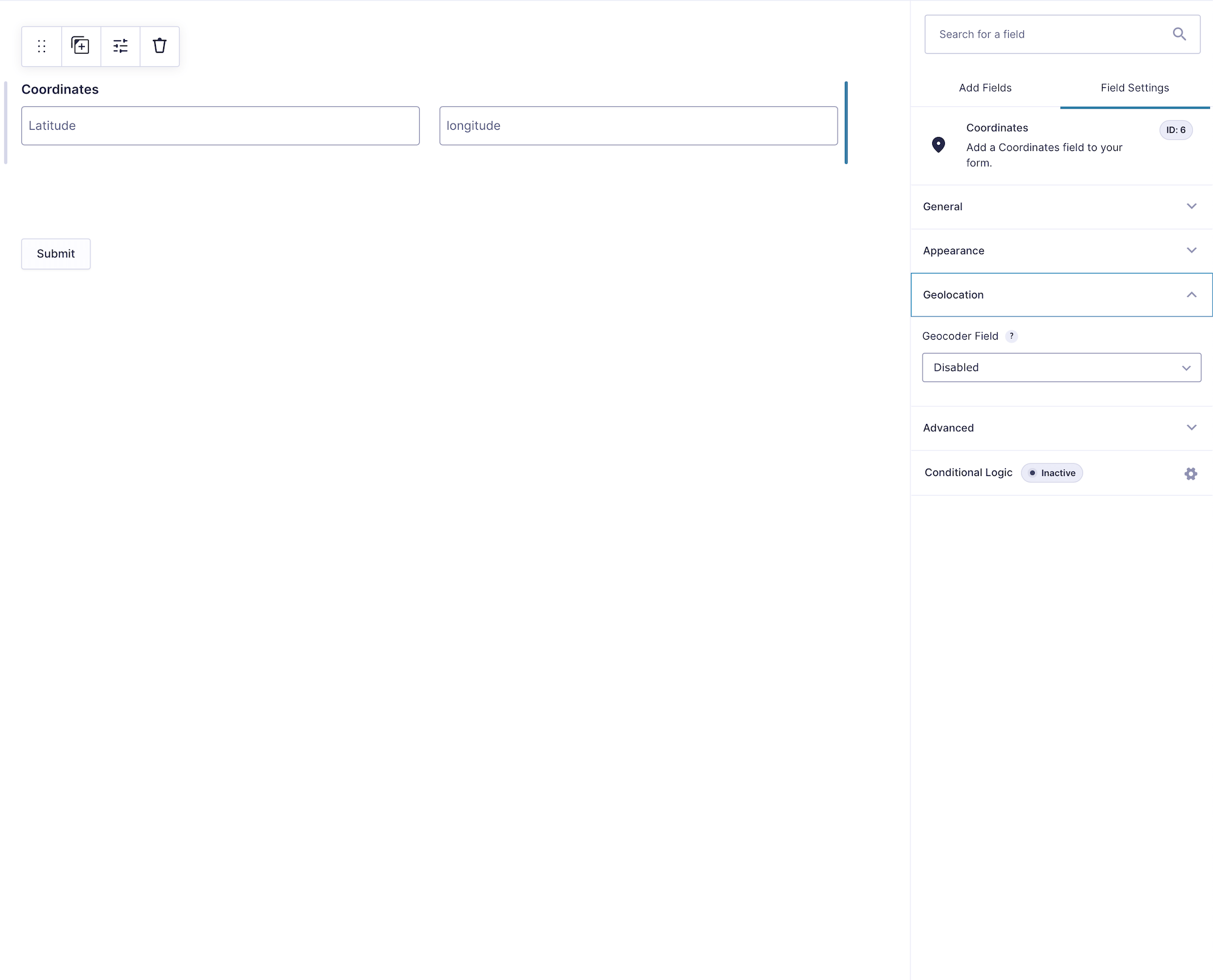
The Coordinates Field provides separate latitude and longitude inputs. Visitors can enter coordinates manually, or the field can be populated automatically by a linked Geocoder Field.
When synchronized, changes flow in both directions: geocoding updates the coordinate inputs, while valid manually entered coordinates can trigger reverse geocoding and update the rest of the location group.
Configuring the Coordinates Field
Manual Entry and Reverse Geocoding
Latitude and longitude must be used together to describe a complete location. If the field is required, both values must be present.
When the visitor changes valid coordinates, the linked Geocoder can reverse-geocode them into a formatted address and update linked Address and Map fields. Test manual-entry workflows carefully because invalid or incomplete coordinate pairs cannot produce a location.
Saved Data, Merge Tags, and Exports
Gravity Geolocation 3.5 stores latitude and longitude as the field’s two compound inputs. Older serialized coordinate values remain readable for backward compatibility.
{Coordinates:FIELD_ID.1}: Latitude.{Coordinates:FIELD_ID.2}: Longitude.{Coordinates:FIELD_ID.3}: Combined comma-separated coordinates.{Coordinates:FIELD_ID.4}: Serialized coordinate data.{Coordinates:FIELD_ID.5}: Formatted coordinate output with the map link when available.
Gravity Forms exports can include latitude, longitude, or a combined latitude/longitude column. The combined value uses comma-separated coordinates by default.
Setting Up and Using the Coordinates Field
- Add a Geocoder Field and the Coordinates Field.
- Select the Geocoder in the Coordinates Field settings.
- Customize the labels and placeholders if needed.
- Preview the form and test both geocoder-driven population and manual coordinate entry.
- Submit the form and verify the individual and combined export values.