
Historical release article: This post documents the Gravity Geolocation 3.0 beta and its original interface. For current packages, requirements, and features, see Gravity Geolocation 3.5 RC6 and the current documentation. The original 2020 screenshots are no longer available after the site migration. Clearly labeled current-version comparisons are included below so readers can see how those capabilities look today.
Gravity Geolocation 3.0 was a major update that introduced new fields, map features, editor improvements, and extensive internal changes. This article originally announced the 3.0 beta and summarizes the features that arrived during that release cycle.
Directions, distance, and routes
Version 3.0 introduced a dedicated field for calculating distance and routes between two or more locations. It supported an origin, destination, optional waypoints, road-based calculations, and direct straight-line distance.
The field could populate distance and duration values and display the route on a connected Map Field. It replaced the earlier directions functionality that had been part of the Geocoder Field.
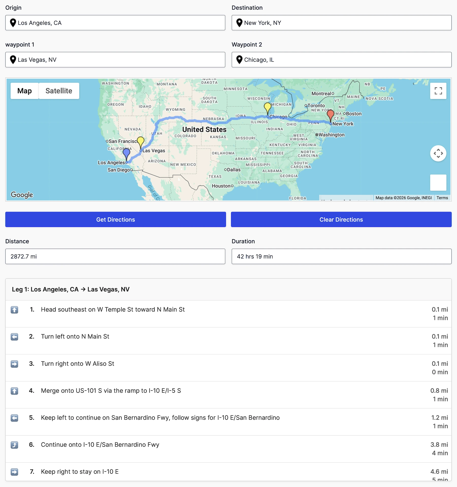
The current plugin provides separate Directions and Distance & Duration fields so users can choose a complete route experience or a focused calculation workflow.
Multiple locations on the Map Field
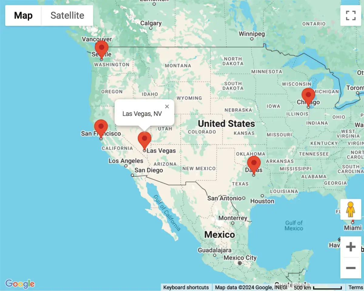
The Google Map Field gained support for multiple Geocoder Fields, allowing a single form map to display multiple connected locations. Administrators could also restrict the map view to a defined geographic area by providing southwest and northeast bounds.
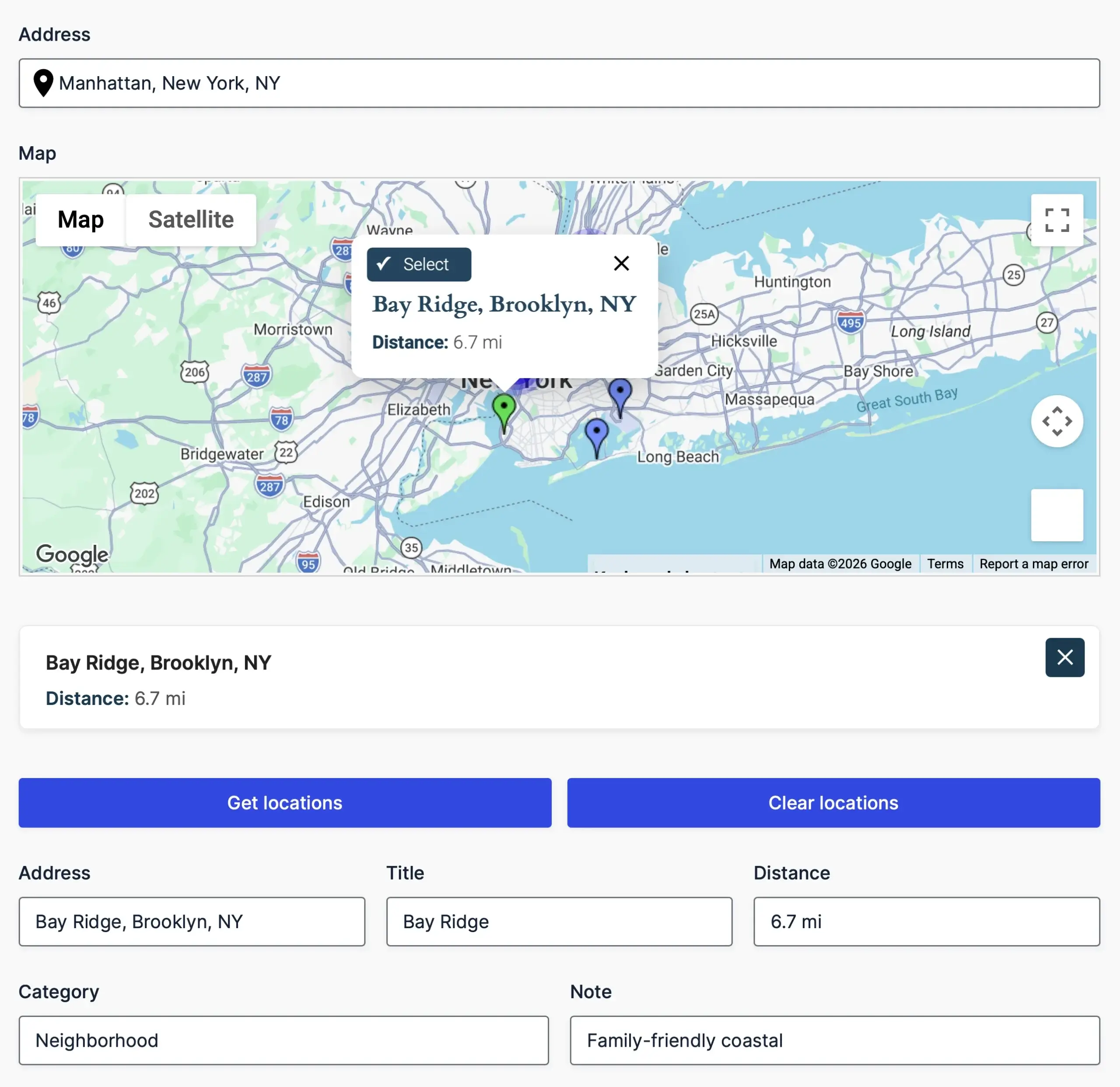
Custom marker information windows
Map markers could open an information window containing administrator-defined content. This made the field more useful for displaying context about each selected or generated location without requiring a separate page.
Reset Location Button
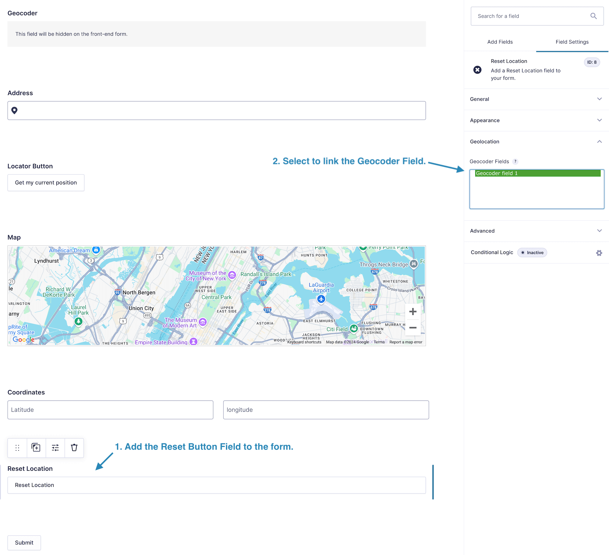
The new Reset Location Button Field gave visitors a simple way to clear the geolocation fields and begin again without resetting unrelated form values.
Address autocomplete in the Gravity Forms Address Field
Address autocomplete could be enabled directly on the first input of the standard Gravity Forms Address Field. This removed the need to place an additional autocomplete input beside the structured address components.
Gravity Forms Mashup Map
Version 3.0 also introduced the long-awaited Mashup Map shortcode. It displayed all or selected saved entry locations together on one interactive map.
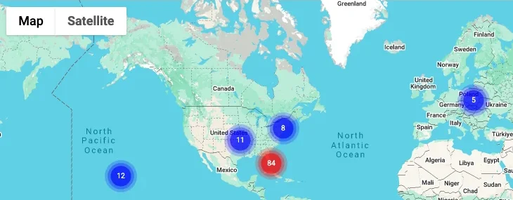
The current Mashup Map shortcode adds marker clustering, information-window controls, entry and Geocoder filters, custom marker icons, and additional map options.
Form editor and preview improvements
Geolocation features became available in both Gravity Forms Preview and the form editor. This reduced the number of times administrators needed to publish or open a separate page just to check field behavior.
Core improvements
Alongside the visible features, much of the plugin core was rewritten to improve performance, reliability, and maintainability. The release also resolved numerous issues accumulated in earlier versions.
Where the plugin is now
Gravity Geolocation continued to evolve after 3.0. The 3.5 generation moves the product onto WPGeo Framework, expands the advanced field collection, introduces a separate Gravity Search product for frontend entry search and display, and provides the current Gravity Geolocation, Pro, Search, and All Access package structure.
For current information:
- Read the Gravity Geolocation 3.5 RC6 overview.
- Browse the current documentation.
- Explore the available solutions.
- Compare current plans.